Boreal Fires Team

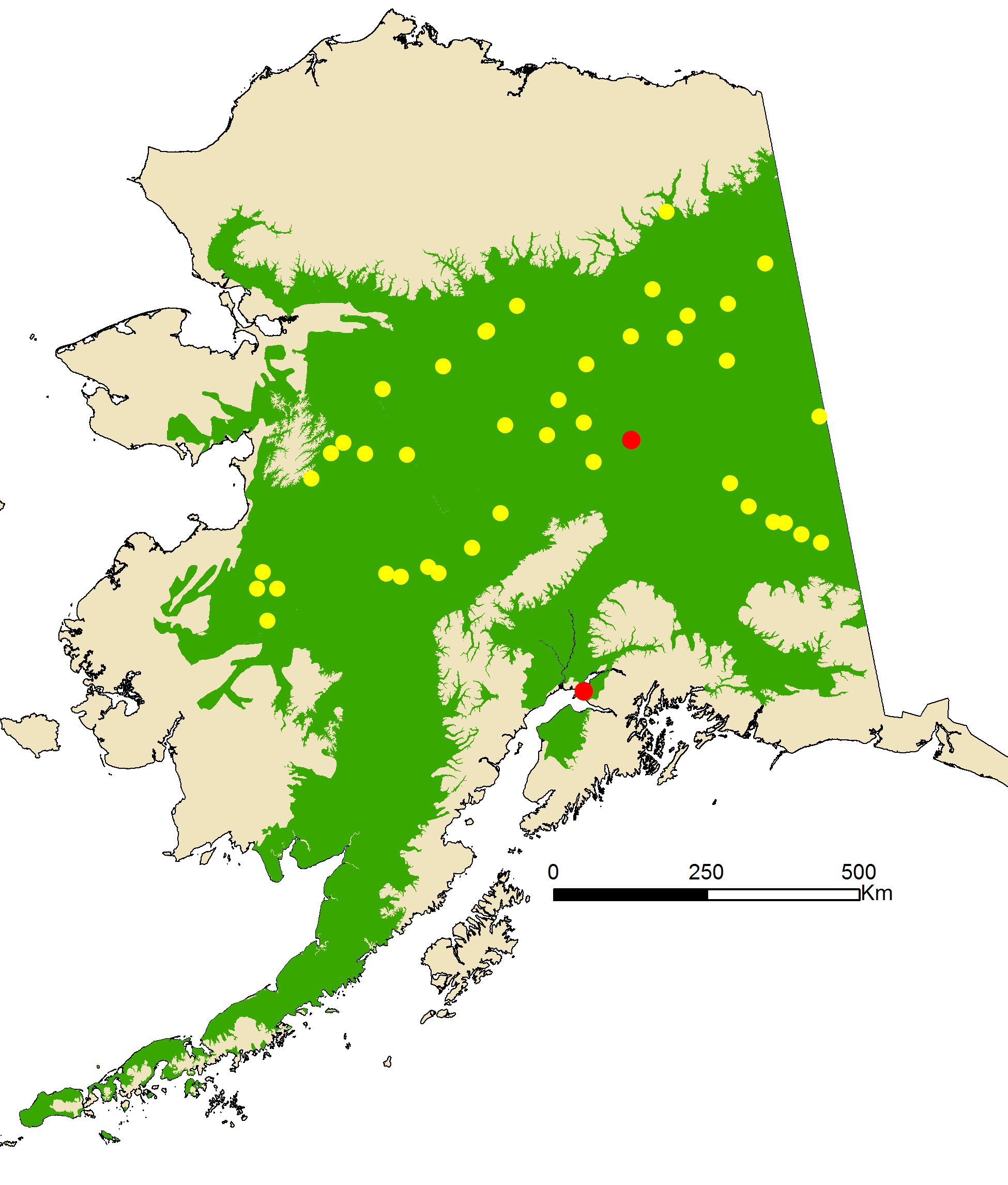
The boreal forest stretches across almost half of Alaska, including the environs of its two largest cities as well as hundreds of other population centers. Boreal fires appear to be increasing both in frequency and area burned, posing increasing risks to communities.
The Fire & Ice Boreal Fires team seeks to increase community resilience to wildfire through data collection (including hyperspectral remote sensing), process studies, predictive modeling, and integrated analysis at multiple scales.
The Boreal Fires team has three research goals:
Goal 1: Produce seasonal fire outlooks by merging data on lightning probability and available fuels with seasonal climate forecasts. Three efforts are involved in reaching this goal. First, researchers are improving the accuracy of Alaska’s historic lightning database by incorporating changes to lightning detection over time, then working to determine which climate factors increase the likelihood of lightning storms.

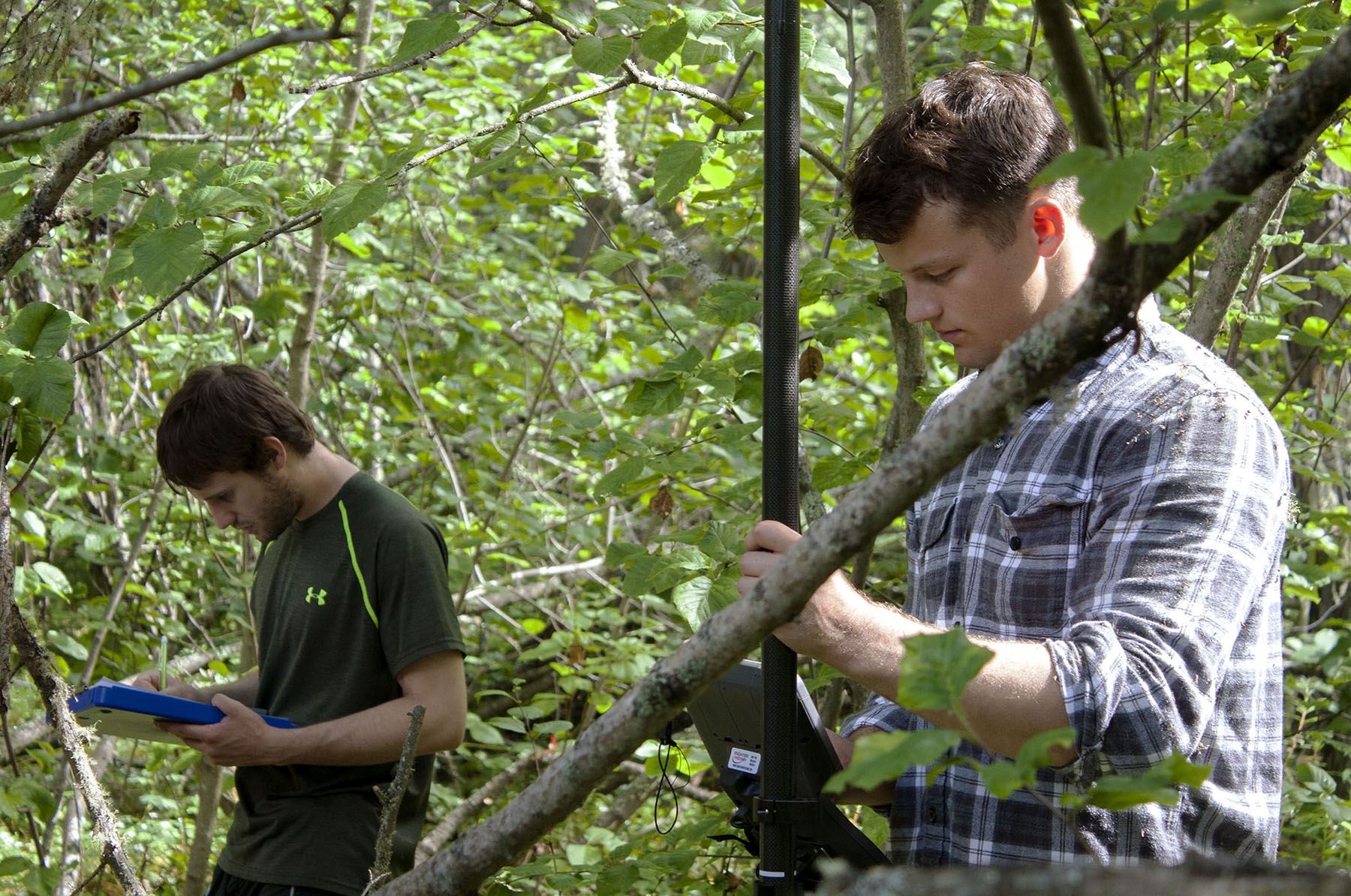
Fire & Ice Boreal Fires graduate student Chris Smith and undergraduate Robert Haan conduct a vegetation survey on the University of Alaska Fairbanks campus, June 19, 2019.
Second, researchers are gathering airborne hyperspectral data over multiple test areas over a period of several years and ground-truthing it with field data, which will be used to build a spectral library for use in better mapping fuel types via satellite. The researchers will also examine hyperspectral data to evaluate the influence of seasonality and snow cover duration on fuel conditions.
Third, researchers study climate data to identify phenomena that create atmospheric conditions conducive to fire weather in Alaska, and apply these findings to improve interpretation of subseasonal-to-seasonal weather forecasts. The research team will combine these lightning, fuel and weather data streams into fire outlooks, which will take the form of map layers and time series graphs indicating fire risk across Alaska’s relevant fire management zones over the course of the fire season.
Goal 2: Enhance active fire characterization, spread prediction, and severity assessment in the boreal through improved remote sensing, short-term weather data, and field measurements. Researchers will conduct hyperspectral overflights of active fires over multiple years to obtain a robust set of fire behavior data, which will be used to refine and calibrate satellite data. They will then use the data to generate fire case studies, which they will evaluate to refine models of fire spread. At the same time, Boreal Fires scientists will improve assessment of fire severity by contrasting spectral indices (gathered as part of Goal 1) and field surveys of recent fires, including the key criteria of how much vegetation was consumed, how much duff remains, and how much mineral soil was exposed. Boreal Fires researchers are also producing more accurate maps of major wildfires using improved satellite sensing methods, and sharing these maps online.

Fire & Ice Boreal Fires researcher Ben Meyer processes samples of insects and debris collected from the Chena River, September 10, 2020.
Goal 3: Develop science-based options for improving wildfire management policy to maintain ecosystem service flows and foster community resilience. An Interior Alaska team has developed a research partnership with the Tanana Chiefs Conference to co-produce research on the immediate impacts of wildfire on salmon spawning habitat and the lifecycles of rural-community-based wildfire fuel breaks. Researchers are also working with the Alaska Department of Fish and Game to co-produce knowledge on the effects of wildfire on moose harvest effort and success. They have also undertaken a study of the impacts of fuel treatment on fuel loads and ecosystem services in Anchorage and Fairbanks and will expand the study to rural Alaska. These efforts will enable Boreal Fires researchers to make recommendations for Interior communities to enhance positive wildfire effects and minimize negative ones.

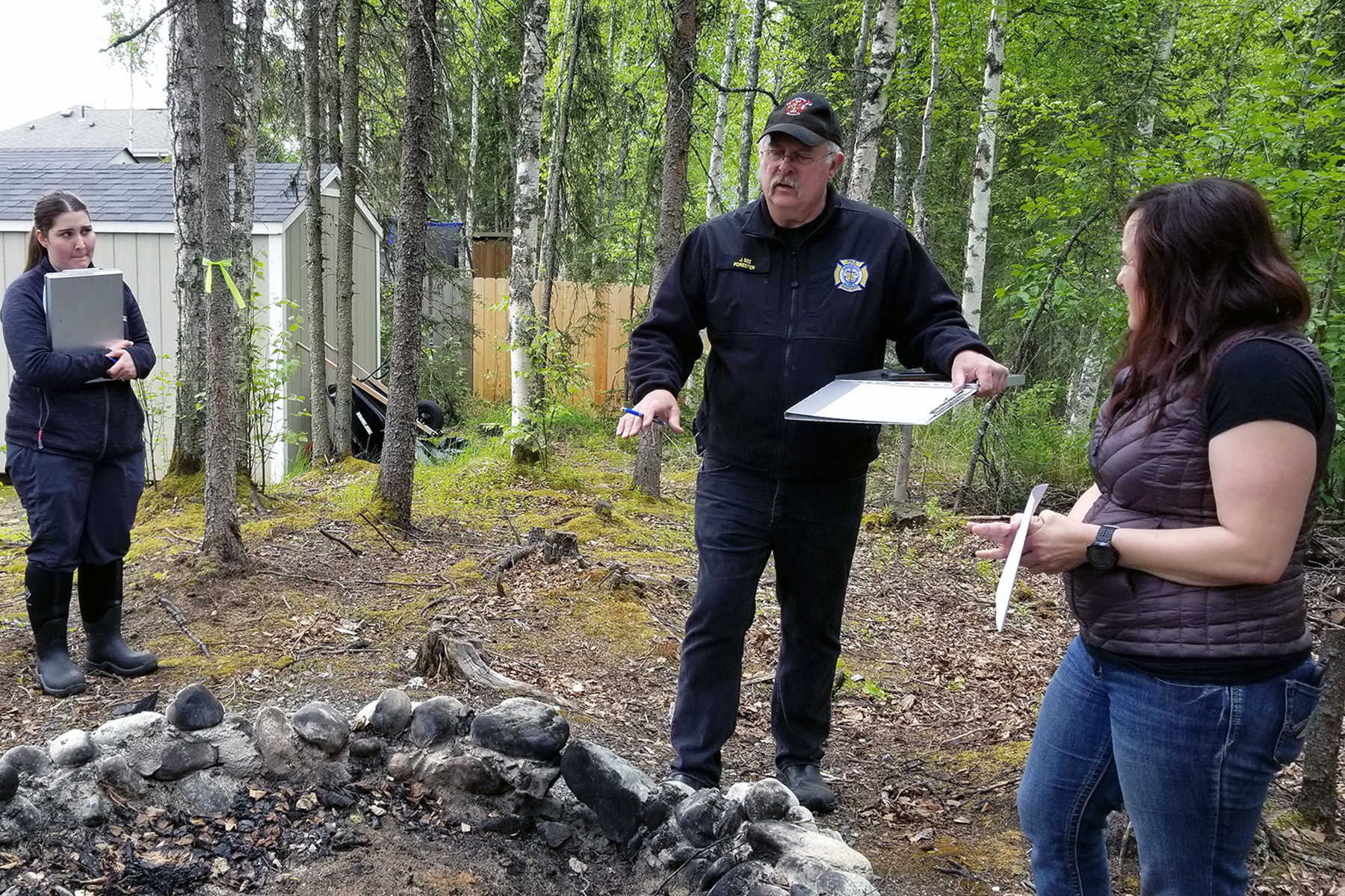
Fire & Ice Boreal Fires student Jennica Kilcher observes as Anchorage Fire Department Forester John See conducts a Firewise evaluation for homeowner Stephanie Bishop in Eagle River, May 31, 2019.
A second set of researchers focus on fire prevention and suppression at the wildland-urban interface (WUI) inAnchorage and on the Kenai Peninsula. Researchers are modeling location, value, and vulnerability to wildfire of structures in the WUI. They will conduct choice experiments asking respondents to select mitigation alternatives based on different costs, incentives, and risks, and will recruit volunteers to participate in local group field experiments. Researchers will then develop an economic model of mitigation and suppression costs and use it to run fire scenarios, which will generate data for use in evaluating how different policy options may generate different levels of property damage and suppression costs.
To help reach these three goals, the Boreal Fires team hired UAF Remote Sensing faculty Simon Zwieback and Earth Surface Processes faculty Kynan Hughson, and has also fully or partially employed three postdoctoral researchers and more than 35 student researchers. Boreal Fires researchers will submit at least 30 articles for peer review and are meeting regularly with fire agencies to enable knowledge co-production and to disseminate findings and products. For more information on these efforts visit our impacts and collaborations pages.

